
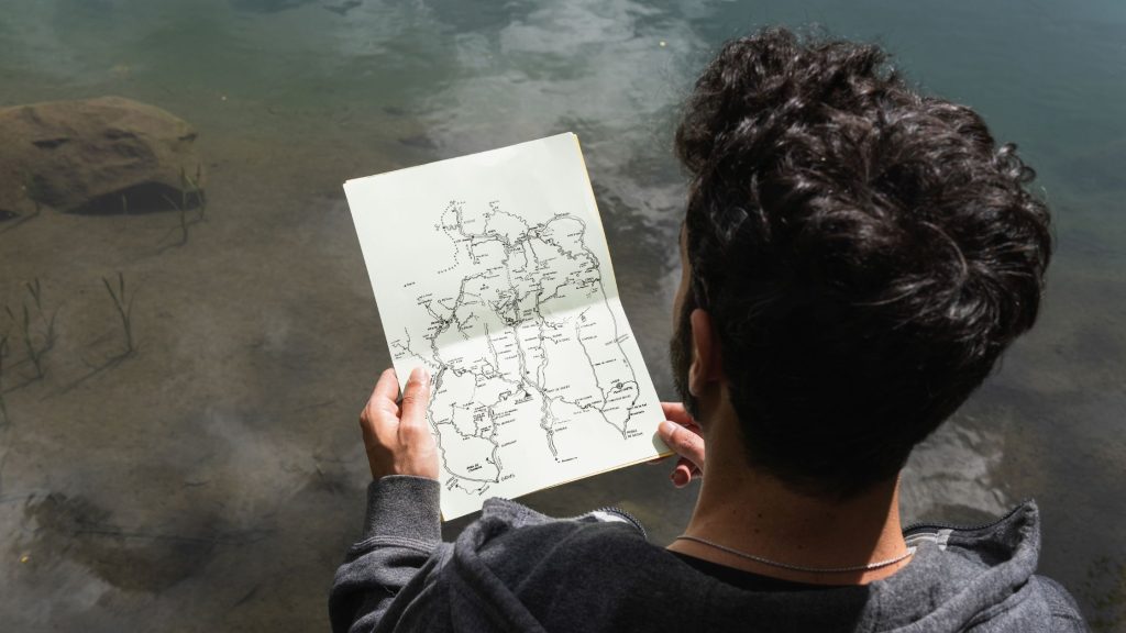
How to Read a Lake Map & Locate Fish-Holding Structure
You can quickly identify fish-holding water by understanding what maps actually show. Begin with constrictions, confluences, and inside corners to funnel bait. Examine tight bathymetric contours for drops, humps, and saddles; predators patrol. To prioritize zones, cross-check nautical soundings with satellite clarity lines. Then, use GPS waypoints, sonar passes, and temperature breaks to confirm patterns. […]